For Immediate Release:
July 21, 2008
Colts Neck intersection eyed for improvements
County engineers evaluating crash history, traffic patterns
FREEHOLD – Responding to a request by Colts Neck officials, Monmouth County engineers have begun studying the traffic patterns and alignment of Crine Road, where it intersects Dutch Lane Road and Heulitt Road, to see what can be done to improve safety at the intersection.
Preliminary data has revealed that the intersection, despite having an unconventionalgeometry, is not a high-crash area. Most of the crashes that do occur there happen during peak rush hours, rarely at night or during the rest of the day.
“I have asked the county engineer to look at what improvements could be made, but to keep in mind that any changes must meet the design objectives of a designated scenic road,” Freeholder Director Lillian G. Burry said. “Crine Road was identified as a scenic road in “The Monmouth County Scenic Roadway Plan,” which was adopted by the County’s Planning Board in 2001.”
Joseph Ettore, the county engineer, said that as the county continues to grow there is always a need to re-examine traffic patterns and roadway designs.
“We realize that as the county grows there has been an increase in traffic,” Ettore said. “What accommodated traffic flows years ago may very well be insufficient today.”
The county will embark on a detailed study of traffic volume and crashes and make a full review of the intersection’s geometry before making a recommendation, Ettore said.
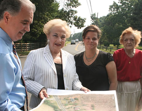
Reviewing a map of Crine Road and Dutch Lane Road in Colts Neck are (from left) County Engineer Joseph Ettore, Freeholder Director Lillian G. Burry and Colts Neck residents Michelle Warendorf and Cathi Trost.
# # #